What and Where was The Ancient Land of Fermoy?

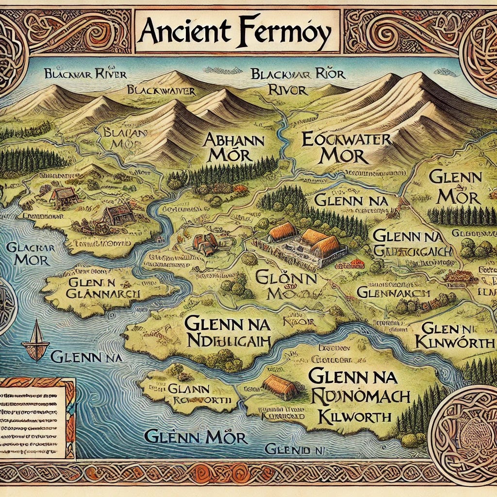
The boundaries of ancient Fermoy were defined by a combination of natural features and human activity. Rivers like the Blackwater (Abhann Mhór), streams such as Muilenn Mairteil in Sliabh Caín, and features like Loch Luigni and Glenn na nDíbergach (the Glend of the Reavers) served as critical markers. These natural landmarks not only outlined the edges of tribal territories but also provided vital resources, routes for trade and communication, and symbolic significance in the lives of the people.
Originally, the territory of Fermoy was divided into two trícha céta, each consisting of eight tuatha. However, after the land was granted to the mythical figure Mogh Ruith, the two cantreds were merged into a single unit. This political restructuring reduced the rent-tribute required of Mogh Ruith’s descendants, highlighting the adaptability of the Irish land division system to accommodate alliances and new rulership.
Trícha, Tuatha, and the Clan System
The organizational structure of Fermoy revolved around the trícha céta as the largest administrative unit and the tuatha as its subdivisions. Each tuath represented both a geographical area and a community of people, led by a local chief (rí) and supported by extended families or clans (fine). These clans formed the backbone of Fermoy’s society, with names and titles closely tied to the land they governed and inhabited.
One of the most significant tuatha in Fermoy was the Eoghanacht of Glennomain (modern-day Glanworth). This territory held a prominent position, being one of the free tuatha associated with the powerful ruling seat of Cashel. Within it were key townlands like Hí Ingair (Magh Fece) and Seanchua (Kilgullane), which were home to prominent families such as the Hí Fhinghuie, Hí Lachtnain, and Hí Dubhthaigh. The naming of places after clans or family groups was a common practice, reinforcing a deep connection between identity and territory.
Each tuath functioned as a self-contained unit, yet alliances and rivalries between them were common. Leaders would negotiate boundaries, forge marriages, and occasionally wage war to assert dominance or maintain their territories. This dynamic interplay gave Fermoy a vibrant, albeit occasionally tumultuous, political life.
Cultural and Economic Life in Fermoy
The cultural and economic life of ancient Fermoy revolved around its landscape and the people’s connection to it. Fertile plains such as Móin Mór (the Great Bog) provided rich agricultural land for cattle grazing and crop production, which were central to the local economy. Cattle, in particular, held immense value not only as a food source but also as a form of currency and a symbol of wealth and power. Tribute payments from smaller tuatha to their overlords often included livestock, linking agriculture directly to the region’s political structure.
Religious life in Fermoy was equally significant. Churches served as centers of spiritual life and community gatherings, with many associated with specific clans. For instance, Cell Aenamhna was the church of the Eoghanacht of Glennomain, while Cell Cruimthir (Kilcrumper) was central to the tuath of Hí Chuáin. Burial grounds like Clenur and Rathan held deep ancestral importance, reinforcing ties between the living and the dead, as well as the families’ claim to the land.
The Legacy of Ancient Fermoy
Fermoy’s legacy lies in its ability to blend geography, governance, and culture into a cohesive and thriving society. Its intricate boundaries, carefully defined by streams, plains, and natural landmarks, reflected the people’s profound respect for their environment. The merging of its trícha céta and the reorganization of its tuatha under figures like Mogh Ruith showcase a flexible political structure that could adapt to new rulers and alliances.
Today, many place names in Fermoy preserve the memory of its ancient tribes and landmarks. Towns like Glanworth and Kilworth, and features like the Blackwater River, serve as living reminders of the region’s history. The names of clans, from the Hí Dubhthaigh to the Hí Fhinghuie, echo in the local traditions and heritage.
Exploring the ancient map of Fermoy reveals more than a historical territory; it uncovers the lives of people who lived, worked, and thrived within it. Through their connection to the land, they created a legacy that continues to influence the culture and identity of the region to this day.
Adapted From: O'Keeffe, J. G. (Ed. & Trans.). (1926-1928). Críchad an Chaoilli: The ancient territory of Fermoy. In Ériu (Vol. 10). Dublin: Royal Irish Academy.